Category:SVG maps of Somalia
Jump to navigation
Jump to search
Subcategories
This category has the following 5 subcategories, out of 5 total.
Media in category "SVG maps of Somalia"
The following 13 files are in this category, out of 13 total.
-
 Administrative divisions of Somalia.svg 1,000 × 1,318; 19 KB
-
 Al-Shabaab in Somalia November 2016.svg 776 × 700; 215 KB
-
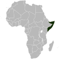 Locator map of Somalia in Africa.svg 1,000 × 1,000; 188 KB
-
 Lower Shebelle relief location map.svg 608 × 608; 595 KB
-
 Map of Somalia.svg 674 × 851; 203 KB
-
 Regions of Somalia.svg 1,000 × 1,318; 18 KB
-
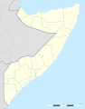
 Somalia location map (2).svg 512 × 652; 198 KB
-
 Somalia location map (de-facto).svg 512 × 652; 198 KB
-
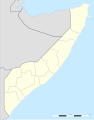
 Somalia location map.svg 1,051 × 1,338; 171 KB
-
 Somalia map of Köppen climate classification-es.svg 1,900 × 1,900; 94 KB
-
 SomaliaMapaBásico.svg 1,685 × 1,806; 703 KB
-
 SomaliaMapaBásicoSimplificado.svg 1,685 × 1,806; 639 KB
-
 Territorial Waters of Somalia.svg 800 × 400; 694 KB


.svg)
.svg)


