Category:SVG maps of Mali
Jump to navigation
Jump to search
Subcategories
This category has the following 5 subcategories, out of 5 total.
Media in category "SVG maps of Mali"
The following 22 files are in this category, out of 22 total.
-
25th parallel Africa.svg 300 × 300; 57 KB
-
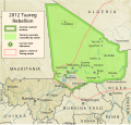
Azawad Tuareg rebellion 2012 - 2.svg 1,315 × 1,254; 719 KB
-
Azawad Tuareg rebellion 2012 de.svg 791 × 756; 954 KB
-
Azawad Tuareg rebellion 2012 mk.svg 1,315 × 1,254; 692 KB
-
Battle of Ifoghas-2013-fr.svg 1,842 × 1,582; 3.19 MB
-
D'Jenne, Mali.svg 800 × 600; 385 KB
-
Hassaniya Arabic Map.svg 285 × 227; 59 KB
-
Kidal administrative map-fr.svg 6,200 × 4,015; 729 KB
-
Mali (orthographic projection).svg 550 × 550; 83 KB
-
Mali adm (–2016) location map.svg 1,644 × 1,568; 297 KB
-
Mali adm location map.svg 1,644 × 1,568; 301 KB
-
Mali Azawad rebellion fr.svg 1,315 × 1,254; 726 KB
-
Mali de iure (orthographic projection).svg 550 × 550; 103 KB
-
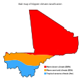
Mali map of Köppen climate classification.svg 1,900 × 1,900; 87 KB
-
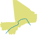
Mali rivers detailed.svg 683 × 646; 501 KB
-
Map of Mali.svg 887 × 838; 59 KB
-
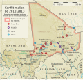
Northern Mali conflict fr.svg 1,316 × 1,255; 795 KB
-
Regions of Mali mk.svg 775 × 833; 169 KB
-
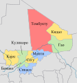
Regions of Mali ru.svg 775 × 833; 107 KB
-
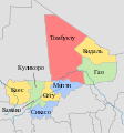
Regions of Mali.svg 775 × 833; 101 KB
-
Sahara ecoregion.svg 700 × 500; 181 KB
-
SVG-Koort Mali.svg 850 × 800; 87 KB

