Category:SVG maps of Hamburg
Jump to navigation
Jump to search
Federal states of Germany:
Subcategories
This category has the following 2 subcategories, out of 2 total.
Media in category "SVG maps of Hamburg"
The following 33 files are in this category, out of 33 total.
-
 AD Hamburg-Nordwest.svg 2,163 × 2,510; 3.52 MB
-
 AD Hamburg-Südost.svg 2,345 × 1,200; 2.21 MB
-
 AD Hamburg Südwest.svg 1,804 × 2,654; 1.42 MB
-
 AK Hamburg-Ost.svg 3,106 × 1,281; 1.29 MB
-
 AK Hamburg-Süd.svg 2,026 × 2,656; 3.02 MB
-
 Hamburg Autobahnen (Sept. 2019).svg 786 × 798; 165 KB
-
 Hamburg Autobahnen.svg 786 × 798; 175 KB
-
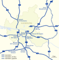
 Hamburg motorways.svg 531 × 514; 35 KB
-
 BWahlkreis 20.svg 408 × 400; 30 KB
-
 BWahlkreis 21.svg 408 × 400; 30 KB
-
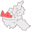
 BWahlkreis 22.svg 408 × 400; 30 KB
-
 BWahlkreis 23.svg 408 × 400; 30 KB
-
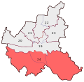 BWahlkreis 24.svg 408 × 400; 30 KB
-
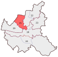
 BWahlkreis 19.svg 408 × 400; 30 KB
-
 Hamburg Fernstraßen.svg 786 × 798; 192 KB
-
 Traffic in Hamburg.svg 531 × 514; 79 KB
-
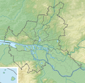
 Germany Hamburg adm location map.svg 558 × 548; 223 KB
-
 Hamburg Bezirke blank.svg 1,024 × 986; 101 KB
-
 Hamburg Bezirke nds.svg 1,024 × 986; 106 KB
-
 Hamburg Bezirke.svg 1,024 × 986; 107 KB
-
 Hamburger Volksentscheid 2015 Wahlkarte.svg 776 × 764; 447 KB
-
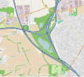 Horster Dreieck.svg 1,948 × 1,774; 2.49 MB
-
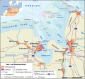 Jade-weser-muendung map de.svg 1,483 × 1,377; 617 KB
-
 Karte Bahnhof Jungfernstieg.svg 718 × 775; 1.33 MB
-
 Karte Bahnhof Berliner Tor.svg 1,740 × 1,026; 1.89 MB
-
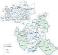
 Karte Gemarkungen von Hamburg.svg 1,144 × 1,104; 2.02 MB
-
 Liegenschaften der Bundeswehr in Hamburg.svg 797 × 757; 468 KB
-
 Hamburg location map.svg 558 × 548; 221 KB
-
 Hamburg relief location map.png 558 × 548; 486 KB
-
 Karte Schellfischtunnel.svg 998 × 898; 1.39 MB
-
 Karte Schibli-Tunnel.svg 1,026 × 858; 446 KB
-
 Verwaltungskarte Hamburg 1938.svg 1,349 × 1,279; 860 KB
-
 WV Hamburg district map.svg 744 × 1,052; 602 KB


.svg)


