Category:SVG maps of Fife
Jump to navigation
Jump to search
Council areas (municipalities) of Scotland: Fife ·
Traditional counties (shires) of Scotland: Fife ·
| NO WIKIDATA ID FOUND! Search for SVG maps of Fife on Wikidata | |
| Upload media |
Media in category "SVG maps of Fife"
The following 13 files are in this category, out of 13 total.
-
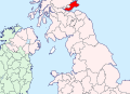
 Fife - British Isles.svg 1,250 × 1,835; 1,024 KB
-
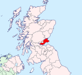 Fife Brit Isles Sect 2.svg 915 × 841; 1,012 KB
-
 Fife Brit Isles Sect 3.svg 939 × 677; 1,012 KB
-
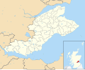
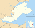 Fife UK blank map.svg 1,425 × 1,152; 1.09 MB
-
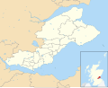
 Fife UK constituency map (blank).svg 1,425 × 1,152; 1.14 MB
-
 Fife UK location map.svg 1,425 × 1,152; 1.61 MB
-
 Fife UK parish map (blank).svg 1,425 × 1,152; 1.37 MB
-
 Fife UK ward map (blank).svg 1,425 × 1,152; 1.41 MB
-
 Fife UK ward map 2017 (blank).svg 1,425 × 1,152; 1.37 MB
-
 Fifeshire locator map.svg 690 × 1,039; 1,001 KB
-
 Mid Scotland and Fife (Scottish Parliament electoral region).svg 599 × 746; 593 KB
-
 North East Fife (Scottish Parliament constituency).svg 233 × 183; 68 KB
-
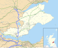
 North-East Fife District, 1980.svg 262 × 357; 2.71 MB


.svg)
.svg)

.svg)
.svg)
.svg)
.svg)