Category:SVG locator maps of districts of Balochistan (red and pink scheme)
Jump to navigation
Jump to search
Media in category "SVG locator maps of districts of Balochistan (red and pink scheme)"
The following 27 files are in this category, out of 27 total.
-
 Awaran.PNG 699 × 639; 23 KB
-
 Barkhan.PNG 699 × 639; 23 KB
-
 Bolan.PNG 699 × 639; 23 KB
-
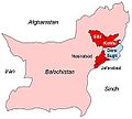 Bugti marri area.jpg 300 × 270; 16 KB
-
 Chagai.PNG 699 × 639; 23 KB
-
 Dera Bugti.PNG 699 × 639; 23 KB
-
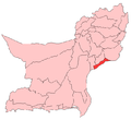
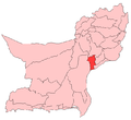
 Gwadar.PNG 699 × 639; 23 KB
-
 Jafarabad District.png 699 × 639; 13 KB
-
 Jhal Magsi District.png 699 × 639; 13 KB
-
 KalatDistrictLocation.PNG 699 × 639; 23 KB
-
 Kech District.png 699 × 639; 13 KB
-
 Kharan District.png 699 × 639; 13 KB
-
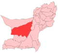
 Khuzdar District.png 699 × 639; 13 KB
-
 Killa Abdullah District.png 699 × 639; 13 KB
-
 Killa Saifullah District.png 699 × 639; 13 KB
-
 Kohlu District.png 699 × 639; 13 KB
-
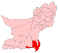 Lasbela.PNG 699 × 639; 23 KB
-
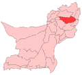 Loralai District.png 699 × 639; 13 KB
-
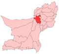 Mastung District.png 699 × 639; 13 KB
-
 Musakhel District.png 699 × 639; 13 KB
-
 Nasirabad District.png 699 × 639; 13 KB
-
 Panjgur District.png 699 × 639; 13 KB
-
 Pishin District.png 699 × 639; 13 KB
-
 Quetta.png 699 × 639; 23 KB
-
 Sibi District.png 699 × 639; 13 KB
-
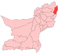
 Zhob District.png 699 × 639; 13 KB
-
 Ziarat.PNG 699 × 639; 23 KB


