Category:Ruins in County Waterford
Jump to navigation
Jump to search
Subcategories
This category has the following 3 subcategories, out of 3 total.
Media in category "Ruins in County Waterford"
The following 10 files are in this category, out of 10 total.
-
 Ardoginna.jpg 2,500 × 1,406; 364 KB
-
 Crook Castle (geograph 6438198).jpg 1,728 × 1,296; 375 KB
-
 Engine house at Tankardstown Copper Mine - geograph.org.uk - 1422942.jpg 480 × 640; 216 KB
-
 Jacobean house, Drumroe Lower, Waterford (geograph 4572042).jpg 640 × 439; 417 KB
-
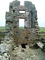
 Old Ruin - geograph.org.uk - 486483.jpg 640 × 480; 69 KB
-
-
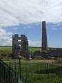
 Tankardstown Mine - geograph.org.uk - 483856.jpg 640 × 426; 109 KB
-
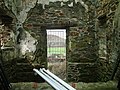
 Tankardstown Mine - geograph.org.uk - 484075.jpg 426 × 640; 118 KB
-
-
 Wreck of the Samson on Ram Head - geograph.org.uk - 5536088.jpg 480 × 640; 358 KB

.jpg)

.jpg)


