Category:Rocher à Pointes
Jump to navigation
Jump to search
| Object location | | View all coordinates using: OpenStreetMap |
|---|
mountain of the Vaud Prealps, Switzerland  | |||||
| Upload media | |||||
| Instance of | |||||
|---|---|---|---|---|---|
| Location | |||||
| Elevation above sea level |
| ||||
 | |||||
Media in category "Rocher à Pointes"
The following 7 files are in this category, out of 7 total.
-
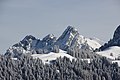
 2007-La-Videmanette-Rubli.jpg 1,920 × 1,280; 3.24 MB
-
 Lac de Vernex.jpg 5,568 × 3,712; 9.09 MB
-
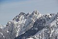 Le Rubli and Rocher Plat (16136674588).jpg 5,184 × 3,456; 7.25 MB
-
 Le Rubli and Rocher Plat (16323370902).jpg 5,184 × 3,456; 7.2 MB
-
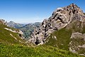
 Rocher à Pointes (12831600335).jpg 5,184 × 3,456; 10.39 MB
-
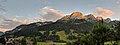 Rougemont mountain.jpg 5,136 × 1,916; 1.6 MB
-
 Rubli, Rocher à Pointes et Rocher Plat.jpg 5,568 × 3,712; 13.63 MB

.jpg)
.jpg)
.jpg)
