Category:Road maps of Ariège
Jump to navigation
Jump to search
Media in category "Road maps of Ariège"
The following 13 files are in this category, out of 13 total.
-
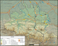
 09-RéseauRN.png 3,507 × 2,480; 975 KB
-
 Carte Ariege routes.svg 550 × 432; 3.63 MB
-
 Carte de l'Ariège.png 1,650 × 1,296; 3.02 MB
-
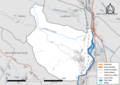 09329-Vernajoul-Routes-Hydro.png 3,507 × 2,480; 1.98 MB
-
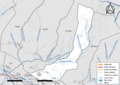 09330-Vernaux-Routes-Hydro.png 3,507 × 2,480; 1.74 MB
-
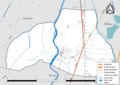 09331-Le Vernet-Routes-Hydro.png 3,507 × 2,480; 1.17 MB
-
 09332-Verniolle-Routes-Hydro.png 3,507 × 2,480; 2.34 MB
-
 09334-Val-de-Sos-Routes-Hydro.png 3,507 × 2,480; 1.98 MB
-
 09335-Villeneuve-Routes-Hydro.png 3,507 × 2,480; 1.12 MB
-
 09336-Villeneuve-d'Olmes-Routes-Hydro.png 3,507 × 2,480; 1.72 MB
-
 09338-Villeneuve-du-Latou-Routes-Hydro.png 3,507 × 2,480; 1.3 MB
-
 09339-Villeneuve-du-Paréage-Routes-Hydro.png 3,507 × 2,480; 1.29 MB
-
 09340-Vira-Routes-Hydro.png 3,507 × 2,480; 1.34 MB


