
Category:Rail transport maps of Shropshire
Media in category "Rail transport maps of Shropshire"
The following 11 files are in this category, out of 11 total.
-
 Cambrian line Map.png 5,374 × 2,672; 5.51 MB
-
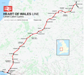 Heart of Wales line Map.png 4,500 × 4,000; 8.42 MB
-
 Os-el-whi.png 1,553 × 680; 58 KB
-
 Potts railway 1866.png 1,525 × 871; 122 KB
-
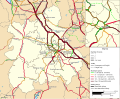 Rail transport infrastructure map - UK - West Midlands.svg 1,059 × 869; 5.49 MB
-
 S&br 01.png 1,563 × 687; 92 KB
-
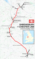 Shrewsbury to Chester line Map.png 2,106 × 3,500; 3.75 MB
-
 Shrops & mont 1911.png 1,525 × 871; 129 KB
-
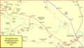
 Welsh Marches line.png 2,112 × 2,297; 4.97 MB
-
 Wolverhampton–Shrewsbury line.png 2,653 × 1,770; 3.04 MB
-
 Wrex&elles.png 1,048 × 1,370; 71 KB


