Category:Rail transport maps of Norfolk
Jump to navigation
Jump to search
Media in category "Rail transport maps of Norfolk"
The following 8 files are in this category, out of 8 total.
-
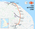 Bittern Line.png 2,192 × 1,823; 2.22 MB
-
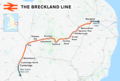 Breckland line.png 2,424 × 1,633; 2.82 MB
-
 Cromer stations.PNG 579 × 392; 29 KB
-
 Great Eastern Main Line.png 1,936 × 1,905; 3.44 MB
-
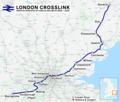 London Crosslink.png 2,353 × 1,992; 5.2 MB
-
 Norfolk railways.png 1,999 × 1,242; 1.82 MB
-
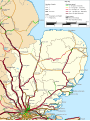 Rail transport infrastructure map - UK - East of England.svg 907 × 1,209; 5.78 MB
-
 Wherry Lines.svg 1,425 × 937; 900 KB


