Category:Public transport maps of SNCB/NMBS S-train network
Jump to navigation
Jump to search
Subcategories
This category has the following 3 subcategories, out of 3 total.
Media in category "Public transport maps of SNCB/NMBS S-train network"
The following 7 files are in this category, out of 7 total.
-
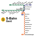 Liniennetz S-Bahn Gent.svg 279 × 288; 208 KB
-
 Map of the RER Bruxelles - GEN Brussels.png 2,746 × 2,115; 7.03 MB
-
 RER-2009v2.png 1,000 × 800; 136 KB
-
 S-Bahn Brüssel.svg 902 × 538; 869 KB
-
 S-net Gent.png 8,329 × 6,379; 84.14 MB
-
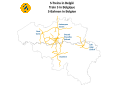 S-Treins in Belgie.svg 1,052 × 744; 1.34 MB
-
 Schuman Josaphat tunnel contextual map.jpg 720 × 540; 46 KB


