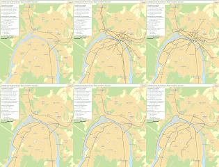
Category:Public transport maps of Rouen
Jump to navigation
Jump to search
Media in category "Public transport maps of Rouen"
The following 9 files are in this category, out of 9 total.
-
Carte prévisionnelle du Service express métropolitain de Rouen.svg 1,325 × 990; 20.09 MB
-
Carte prévisionnelle du Service express métropolitain de Rouen.webp 2,944 × 2,200; 4.07 MB
-
Plan schématique SERM page-0001.jpg 4,000 × 1,359; 744 KB
-
Plan SERM (1).jpg 1,920 × 1,080; 167 KB
-
Plan.lignes.teor.tram.rouen.jpg 4,669 × 3,228; 1.05 MB
-
Railway map of France - Rouen - animated - fr.gif 1,666 × 1,907; 12.67 MB
-
Rouen Transport Map.svg 2,637 × 2,653; 85 KB
-
Rouen-01.jpg 1,978 × 1,990; 2.45 MB
-
SEM Rouen - Schéma.svg 1,417 × 1,063; 55 KB


