Category:Public transport maps of Chelyabinsk
Jump to navigation
Jump to search
Media in category "Public transport maps of Chelyabinsk"
The following 7 files are in this category, out of 7 total.
-
 Chelyabinsk Metro English.png 353 × 376; 8 KB
-
 Chelyabinsk Metro X ru en.svg 286 × 310; 18 KB
-
 Chelyabinsk public transport system map (with stations).png 10,642 × 10,363; 26.24 MB
-
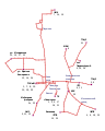 Chelyabinsk trolleybus schema.svg 608 × 758; 65 KB
-
 Tscheljabinsk Metro deutsch.png 353 × 376; 7 KB
-
 TsjeljabinskBasiskaart.png 325 × 192; 10 KB
-
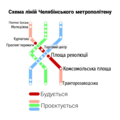 СхемаЛіній ЧелябінськийМетрополітен(УКР).png 1,280 × 1,280; 283 KB


.png)
.png)