Category:Political maps of Warren County, Ohio as of the 2000 United States Census
Jump to navigation
Jump to search
Media in category "Political maps of Warren County, Ohio as of the 2000 United States Census"
The following 31 files are in this category, out of 31 total.
-
 Map of Warren County Ohio Highlighting Blanchester Village.png 460 × 535; 31 KB
-
 Map of Warren County Ohio Highlighting Butlerville Village.png 460 × 535; 31 KB
-
 Map of Warren County Ohio Highlighting Carlisle Village.png 460 × 535; 31 KB
-
 Map of Warren County Ohio Highlighting Clearcreek Township.png 460 × 535; 31 KB
-
 Map of Warren County Ohio Highlighting Corwin Village.png 460 × 535; 31 KB
-
 Map of Warren County Ohio Highlighting Deerfield Township.png 460 × 535; 31 KB
-
 Map of Warren County Ohio Highlighting Franklin City.png 460 × 535; 31 KB
-
 Map of Warren County Ohio Highlighting Franklin Township.png 460 × 535; 31 KB
-
 Map of Warren County Ohio Highlighting Hamilton Township.png 460 × 535; 31 KB
-
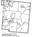
 Map of Warren County Ohio Highlighting Harlan Township.png 460 × 535; 31 KB
-
 Map of Warren County Ohio Highlighting Harveysburg Village.png 460 × 535; 31 KB
-
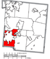
 Map of Warren County Ohio Highlighting Lebanon City.png 460 × 535; 31 KB
-
 Map of Warren County Ohio Highlighting Loveland City.png 460 × 535; 31 KB
-
 Map of Warren County Ohio Highlighting Maineville Village.png 460 × 535; 31 KB
-
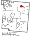
 Map of Warren County Ohio Highlighting Mason City.png 460 × 535; 31 KB
-
 Map of Warren County Ohio Highlighting Massie Township.png 460 × 535; 31 KB
-
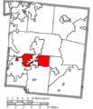
 Map of Warren County Ohio Highlighting Middletown City.png 460 × 535; 31 KB
-
 Map of Warren County Ohio Highlighting Monroe City.png 460 × 535; 31 KB
-
 Map of Warren County Ohio Highlighting Morrow Village.png 460 × 535; 31 KB
-
 Map of Warren County Ohio Highlighting Pleasant Plain Village.png 460 × 535; 31 KB
-
 Map of Warren County Ohio Highlighting Salem Township.png 460 × 535; 31 KB
-
 Map of Warren County Ohio Highlighting South Lebanon Village.png 460 × 535; 31 KB
-
 Map of Warren County Ohio Highlighting Springboro City.png 460 × 535; 31 KB
-
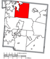
 Map of Warren County Ohio Highlighting Turtlecreek Township.png 460 × 535; 31 KB
-
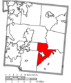
 Map of Warren County Ohio Highlighting Union Township.png 460 × 535; 31 KB
-
 Map of Warren County Ohio Highlighting Washington Township.png 460 × 535; 31 KB
-
 Map of Warren County Ohio Highlighting Wayne Township.png 460 × 535; 31 KB
-
 Map of Warren County Ohio Highlighting Waynesville Village.png 460 × 535; 31 KB
-
 Map of Warren County Ohio With Municipal and Township Labels.PNG 569 × 576; 59 KB
-
 Map of Warren County, Ohio No Text, Municipalities Distinct.png 569 × 576; 33 KB
-
 Map of Warren County, Ohio No Text.png 569 × 576; 34 KB


