Category:Political maps of Van Wert County, Ohio as of the 2000 United States Census
Jump to navigation
Jump to search
Media in category "Political maps of Van Wert County, Ohio as of the 2000 United States Census"
The following 27 files are in this category, out of 27 total.
-
 Hoaglin VanWert.PNG 512 × 460; 15 KB
-
 Jackson VanWert.PNG 512 × 460; 15 KB
-
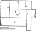
 Map of Van Wert County Ohio Highlighting Convoy Village.png 507 × 448; 18 KB
-
 Map of Van Wert County Ohio Highlighting Delphos City.png 507 × 448; 18 KB
-
 Map of Van Wert County Ohio Highlighting Elgin Village.png 507 × 448; 18 KB
-
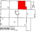
 Map of Van Wert County Ohio Highlighting Harrison Township.png 507 × 448; 18 KB
-
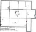
 Map of Van Wert County Ohio Highlighting Hoaglin Township.png 507 × 448; 18 KB
-
 Map of Van Wert County Ohio Highlighting Jackson Township.png 507 × 448; 18 KB
-
 Map of Van Wert County Ohio Highlighting Jennings Township.png 507 × 448; 18 KB
-
 Map of Van Wert County Ohio Highlighting Liberty Township.png 507 × 448; 18 KB
-
 Map of Van Wert County Ohio Highlighting Middle Point Village.png 507 × 448; 18 KB
-
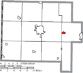
 Map of Van Wert County Ohio Highlighting Ohio City Village.png 507 × 448; 18 KB
-
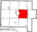
 Map of Van Wert County Ohio Highlighting Pleasant Township.png 507 × 448; 18 KB
-
 Map of Van Wert County Ohio Highlighting Ridge Township.png 507 × 448; 18 KB
-
 Map of Van Wert County Ohio Highlighting Scott Village.png 507 × 448; 18 KB
-
 Map of Van Wert County Ohio Highlighting Tully Township.png 507 × 448; 18 KB
-
 Map of Van Wert County Ohio Highlighting Union Township.png 507 × 448; 18 KB
-
 Map of Van Wert County Ohio Highlighting Van Wert City.png 507 × 448; 18 KB
-
 Map of Van Wert County Ohio Highlighting Venedocia Village.png 507 × 448; 18 KB
-
 Map of Van Wert County Ohio Highlighting Washington Township.png 507 × 448; 18 KB
-
 Map of Van Wert County Ohio Highlighting Willshire Township.png 507 × 448; 18 KB
-
 Map of Van Wert County Ohio Highlighting Willshire Village.png 507 × 448; 18 KB
-
 Map of Van Wert County Ohio Highlighting Wren Village.png 507 × 448; 18 KB
-
 Map of Van Wert County Ohio Highlighting York Township.png 507 × 448; 18 KB
-
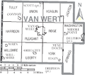 Map of Van Wert County Ohio With Municipal and Township Labels.PNG 507 × 448; 36 KB
-
 Map of Van Wert County, Ohio No Text, Municipalities Distinct.png 507 × 448; 18 KB
-
 Map of Van Wert County, Ohio No Text.png 507 × 448; 18 KB


