Category:Political maps of Morgan County, Ohio as of the 2000 United States Census
Jump to navigation
Jump to search
Media in category "Political maps of Morgan County, Ohio as of the 2000 United States Census"
The following 21 files are in this category, out of 21 total.
-
 Map of Morgan County Ohio Highlighting Bloom Township.png 547 × 471; 19 KB
-
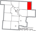
 Map of Morgan County Ohio Highlighting Bristol Township.png 547 × 471; 19 KB
-
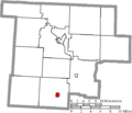
 Map of Morgan County Ohio Highlighting Center Township.png 547 × 471; 19 KB
-
 Map of Morgan County Ohio Highlighting Chesterhill Village.png 547 × 471; 19 KB
-
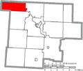
 Map of Morgan County Ohio Highlighting Deerfield Township.png 547 × 471; 19 KB
-
 Map of Morgan County Ohio Highlighting Homer Township.png 547 × 471; 19 KB
-
 Map of Morgan County Ohio Highlighting Malta Township.png 547 × 471; 19 KB
-
 Map of Morgan County Ohio Highlighting Malta Village.png 547 × 471; 19 KB
-
 Map of Morgan County Ohio Highlighting Manchester Township.png 547 × 471; 19 KB
-
 Map of Morgan County Ohio Highlighting Marion Township.png 547 × 471; 19 KB
-
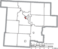
 Map of Morgan County Ohio Highlighting McConnelsville Village.png 547 × 471; 19 KB
-
 Map of Morgan County Ohio Highlighting Meigsville Township.png 547 × 471; 19 KB
-
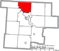
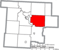
 Map of Morgan County Ohio Highlighting Morgan Township.png 547 × 471; 19 KB
-
 Map of Morgan County Ohio Highlighting Penn Township.png 547 × 471; 19 KB
-
 Map of Morgan County Ohio Highlighting Stockport Village.png 547 × 471; 19 KB
-
 Map of Morgan County Ohio Highlighting Union Township.png 547 × 471; 19 KB
-
 Map of Morgan County Ohio Highlighting Windsor Township.png 547 × 471; 19 KB
-
 Map of Morgan County Ohio Highlighting York Township.png 547 × 471; 19 KB
-
 Map of Morgan County Ohio With Municipal and Township Labels.PNG 547 × 471; 34 KB
-
 Map of Morgan County, Ohio No Text, Municipalities Distinct.png 547 × 471; 19 KB
-
 Map of Morgan County, Ohio No Text.png 547 × 471; 19 KB


