Category:Political maps of Brest
Jump to navigation
Jump to search
Media in category "Political maps of Brest"
The following 7 files are in this category, out of 7 total.
-
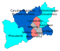
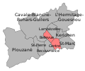
Brest cantonales 1992.svg 302 × 253; 17 KB
-
Brest cantonales 2001.svg 302 × 253; 17 KB
-
Brest cantonales 2008.svg 302 × 253; 17 KB
-
Brest cantonales 2011.svg 302 × 253; 17 KB
-
Brest départementales 2015.svg 302 × 253; 7 KB
-
Brest départementales 2021.svg 302 × 253; 7 KB
-
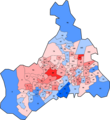
Resultat-2etour-brest.png 717 × 785; 173 KB


