Category:Pity Me
Jump to navigation
Jump to search
village in County Durham, UK  | |||||
| Upload media | |||||
| Instance of | |||||
|---|---|---|---|---|---|
| Location | Framwellgate Moor, County Durham, North East England, England | ||||
 | |||||
English: Pity Me is a village in County Durham in England, although other instances of the name can be found in Hexhamshire and near Morpeth. Pity Me is located north of Framwellgate Moor and west of Newton Hall.
Nederlands: Pity Me is een plaats in het bestuurlijke gebied City of Durham, in het Engelse graafschap Durham.
Media in category "Pity Me"
The following 21 files are in this category, out of 21 total.
-
 "Rotary" roundabout - geograph.org.uk - 351777.jpg 640 × 480; 69 KB
-
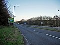 A167 at Pity Me - geograph.org.uk - 294003.jpg 640 × 480; 51 KB
-

-
 Bek Road, Newton Hall - geograph.org.uk - 4258877.jpg 4,608 × 3,456; 6.81 MB
-
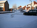 Bishops Way, Pity Me. Dec 05 - geograph.org.uk - 264160.jpg 640 × 480; 95 KB
-

-
 Carr House Drive, Newton Hall - geograph.org.uk - 4258835.jpg 4,608 × 3,456; 5.48 MB
-
 Children's Play Area - geograph.org.uk - 1019025.jpg 640 × 447; 81 KB
-
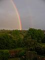 Double Rainbow - geograph.org.uk - 264168.jpg 480 × 640; 44 KB
-
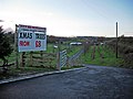
 Driveway to Kimblesworth Grange - geograph.org.uk - 351756.jpg 640 × 480; 71 KB
-
-
 Lambton Hounds Inn, Pity Me, Geograph-1019016-by-Roger-Smith.jpg 640 × 480; 81 KB
-
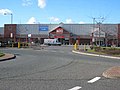 Mercia Business Park, Durham - geograph.org.uk - 351776.jpg 640 × 480; 63 KB
-
 MFI older (Mercia Business Park Durham).jpg 209 × 178; 38 KB
-
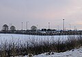 Park and Ride, Sniperley - geograph.org.uk - 1630754.jpg 640 × 450; 86 KB
-
 Pity Me Nursery - geograph.org.uk - 1019007.jpg 640 × 396; 71 KB
-
 Roundabout, Pity Me - geograph.org.uk - 1005968.jpg 640 × 417; 65 KB
-

-
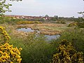
 The Carrs - geograph.org.uk - 4255201.jpg 4,608 × 3,456; 5.08 MB
-
 The Carrs, Pity Me, Durham UK - geograph.org.uk - 62188.jpg 640 × 480; 129 KB
-
 The Carrs, Pity Me, Durham UK - geograph.org.uk - 62195.jpg 640 × 480; 118 KB


.jpg)


