Category:OpenStreetMap maps of Besançon
Jump to navigation
Jump to search
Media in category "OpenStreetMap maps of Besançon"
The following 17 files are in this category, out of 17 total.
-
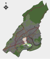
 Besancon map district 01.svg 701 × 823; 2.46 MB
-
 Besancon map district 02.svg 701 × 823; 2.46 MB
-
 Besancon map district 03.svg 701 × 823; 2.46 MB
-
 Besancon map district 04.svg 701 × 823; 2.46 MB
-
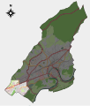
 Besancon map district 05.svg 701 × 823; 2.46 MB
-
 Besancon map district 06.svg 701 × 823; 2.46 MB
-
 Besancon map district 07.svg 701 × 823; 2.46 MB
-
 Besancon map district 08.svg 701 × 823; 2.46 MB
-
 Besancon map district 09.svg 701 × 823; 2.46 MB
-
 Besancon map district 10.svg 701 × 823; 2.46 MB
-
 Besancon map district 11.svg 701 × 823; 2.46 MB
-
 Besancon map district 12.svg 701 × 823; 2.46 MB
-
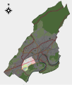
 Besancon map district 13.svg 701 × 823; 2.46 MB
-
 Besancon map district 14.svg 701 × 823; 2.46 MB
-
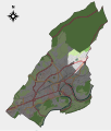
 Besancon map with districts numbers.svg 701 × 823; 2.46 MB
-
 Besancon map with districts.svg 701 × 823; 2.46 MB
-
 Besançon OSM 01.png 724 × 850; 915 KB


