Category:OpenStreetMap maps of Beersheba
Jump to navigation
Jump to search
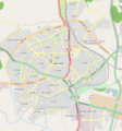
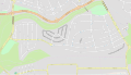
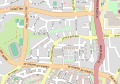
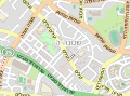
Maps or derived maps from OpenStreetMap of BeerSheva, Israel
Media in category "OpenStreetMap maps of Beersheba"
The following 14 files are in this category, out of 14 total.
-
 B406map.png 509 × 616; 93 KB
-
 B406mapA.png 649 × 697; 331 KB
-
 Beer sheva streets map.png 1,269 × 441; 626 KB
-
 BeerSeba attractions.png 650 × 697; 445 KB
-
 Naaot Lon.svg 363 × 380; 672 KB
-
 NaveNoy.svg 3,303 × 1,884; 2.37 MB
-
 Neighborhood Bet.svg 521 × 364; 1.08 MB
-
 Neighborhood D.svg 486 × 386; 1.11 MB
-
 Neighborhood E.svg 286 × 211; 582 KB
-
 Neighborhood Gimel.svg 786 × 476; 1.29 MB
-
 Neighborhood tet.svg 399 × 241; 744 KB
-
 Neighborhood vav.svg 399 × 241; 568 KB
-
 NeighborhoodAlef.svg 1,351 × 1,006; 3.29 MB
-
 רשת רחובות.jpg 1,149 × 436; 139 KB


