Category:Old maps of dikes
Jump to navigation
Jump to search
Media in category "Old maps of dikes"
The following 5 files are in this category, out of 5 total.
-
 Bau eines Rheindeichs bei Erfelden.tif 5,985 × 4,695; 65.33 MB
-
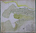
 Hobben und Ante Flus 1645.jpg 4,339 × 3,460; 4.38 MB
-
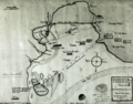 Oberahnesche Felder + Hoben1645.png 4,101 × 3,213; 16.77 MB
-
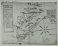
 OldenburgerDeiche um1645+Lockfleth um1515.jpg 1,896 × 1,708; 2.37 MB
-
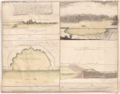
 Unterweser Jadebusen 1643-48.jpg 7,518 × 3,132; 12.45 MB


