Category:Old maps of Samford Rural District
Jump to navigation
Jump to search
Media in category "Old maps of Samford Rural District"
The following 26 files are in this category, out of 26 total.
-
 Belstead Map 1946.png 573 × 443; 464 KB
-
 Map of Bentley, Suffolk, OS 1946.png 359 × 341; 206 KB
-
 Map of Brantham, OS 1946.png 396 × 270; 193 KB
-
 Map of Burstall, OS 1946.png 217 × 177; 77 KB
-
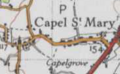 Map of Capel St Mary, OS 1946.png 183 × 113; 37 KB
-
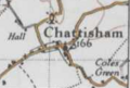 Map of Chattisham, OS 1946.png 176 × 119; 35 KB
-
 Map of Chelmondiston, OS 1946.png 313 × 219; 123 KB
-
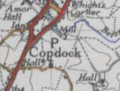 Map of Copdock, OS 1946.png 176 × 134; 46 KB
-
 Map of East Bergholt, OS 1946.png 260 × 202; 114 KB
-
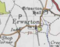 Map of Erwarton, OS 1946.png 188 × 147; 43 KB
-
 Map of Freston, OS 1946.png 235 × 146; 66 KB
-
 Map of Great Wenham, OS 1946.png 198 × 147; 47 KB
-
 Map of Harkstead, OS 1946.png 231 × 151; 64 KB
-
 Map of Higham, Babergh OS 1946.png 276 × 183; 105 KB
-
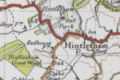 Map of Hintlesham, OS 1946.png 290 × 194; 111 KB
-
 Map of Holbrook, OS 1946.png 387 × 272; 202 KB
-
 Map of Raydon, OS 1946.png 259 × 168; 84 KB
-
 Map of Shelley, Suffolk, OS 1946.png 290 × 178; 97 KB
-
 Map of Shotley, OS 1946.png 333 × 231; 133 KB
-
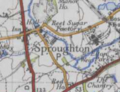 Map of Sproughton, OS 1946.png 251 × 192; 98 KB
-
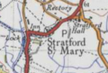 Map of Stratford St Mary, OS 1946.png 214 × 144; 65 KB
-
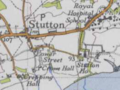 Map of Stutton, OS 1946.png 259 × 195; 91 KB
-
 Map of Tattingstone, OS 1946.png 328 × 231; 138 KB
-
 Map of Washbrook, OS 1946.png 224 × 138; 64 KB
-
 Map of Whearsted, OS 1946.png 328 × 279; 184 KB
-
 Map of Woolverstone, OS 1946.png 344 × 205; 130 KB


