Category:Old maps of Posey County, Indiana
Jump to navigation
Jump to search
Subcategories
This category has the following 2 subcategories, out of 2 total.
Media in category "Old maps of Posey County, Indiana"
The following 8 files are in this category, out of 8 total.
-
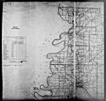
Posey County land use map. - DPLA - e6bf34cc0fc916e4bb5e284246bfe9f1.jpg 4,668 × 6,256; 3.5 MB


