Category:Old maps of Cauca Department
Jump to navigation
Jump to search
Media in category "Old maps of Cauca Department"
The following 10 files are in this category, out of 10 total.
-
 Carta Corográfica de la parte oriental i ménos poblada Del Estado Del Cauca.jpg 12,908 × 9,745; 12.63 MB
-
 Carta Corográfica del Estado del Cauca (1871).jpg 2,216 × 4,104; 3.74 MB
-
 Carta Corográfica Del Estado Del Cauca.jpg 8,147 × 14,847; 11.21 MB
-
-
 Carta del Departamento del Cauca.jpg 4,361 × 6,129; 7.25 MB
-
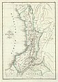
 Mapa Corográfico de la Provincia de Barbacoas (1853).jpg 3,648 × 4,336; 5.55 MB
-
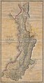 Mapa del Estado del Cauca (1865).jpg 4,544 × 8,528; 13.36 MB
-
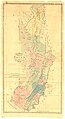 Mapa del Estado del Cauca (1871).jpg 4,734 × 8,686; 6.18 MB
-
 Mapa del Territorio del Caquetá (1865).jpg 1,477 × 1,015; 282 KB
-
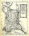
 ProvinciaPopayan.jpg 1,810 × 1,353; 864 KB

.jpg)

_-_AHG.jpg)

.jpg)
.jpg)
.jpg)
.jpg)
