Category:Old maps of Albany County, New York
Jump to navigation
Jump to search
Subcategories
This category has the following 2 subcategories, out of 2 total.
Media in category "Old maps of Albany County, New York"
The following 13 files are in this category, out of 13 total.
-
 Rensselaerswyck 1767 Downsampled.png 2,000 × 1,422; 3.07 MB
-
 Rensselaerswyck 1767.png 2,854 × 2,029; 6.35 MB
-
 Sauthier Albany County.jpg 600 × 523; 85 KB
-
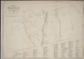
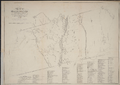
 Albany-1829-b.jpg 370 × 465; 34 KB
-
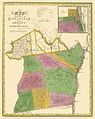
 AlbanyCounty1839.jpg 603 × 760; 103 KB
-
 Cohoes1891.jpg 420 × 400; 47 KB
-
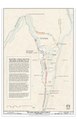
 Albany County 1777.png 2,139 × 1,743; 5.86 MB
-
 Albany Rural Cemetery - engraved and printed by J.E. Gavit. NYPL434097.tiff 4,163 × 3,503; 41.73 MB
-

-
 Cohoes, N.Y. (2675026355).jpg 2,000 × 1,477; 2.65 MB
-
-
 HurstvilleNY.jpg 420 × 400; 39 KB
-


,_Locks_37_and_38,_84_North_Mohawk_Street,_Cohoes,_Albany_County,_NY_HAER_NY-337_(sheet_3_of_6).png)
.jpg)

.jpg)