Category:Network maps of Paris RER
Jump to navigation
Jump to search
Media in category "Network maps of Paris RER"
The following 16 files are in this category, out of 16 total.
-
 Carte Transilien RER schématique.svg 4,520 × 3,763; 667 KB
-
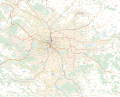
 Central RER network.png 914 × 706; 315 KB
-
 Paris RER avant juillet 2007.svg 3,540 × 2,913; 687 KB
-
 Paris RER avant juillet 2011.svg 3,540 × 2,913; 658 KB
-
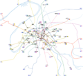
 Paris RER.png 9,755 × 8,029; 3.72 MB
-
 Paris RER.svg 3,540 × 2,913; 472 KB
-
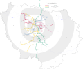
 RERParisVision2025.png 1,583 × 1,097; 496 KB
-
 Transilien and RER blank map without services.svg 4,481 × 4,263; 73 KB
-
 Transilien and RER blank map.svg 4,481 × 4,263; 88 KB
-
 Transilien Paris region map.jpg 3,109 × 3,170; 8.54 MB
-
 Transilien Île-de-France map.jpg 8,084 × 7,196; 35.37 MB
-
 Paris Metro map beschriftet.png 2,400 × 2,204; 1.36 MB
-
 Paris Metro map complete.svg 1,927 × 1,770; 1.02 MB
-
 Paris Metro map.gif 1,927 × 1,770; 214 KB
-
 Paris Metro map.svg 1,927 × 1,770; 309 KB
-
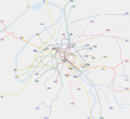
 Paris-public-transports.svg 6,977 × 5,614; 9.85 MB


