Category:Mining maps of Saône-et-Loire
Jump to navigation
Jump to search
Media in category "Mining maps of Saône-et-Loire"
The following 7 files are in this category, out of 7 total.
-
 Bassin houiller de Blanzy.svg 1,000 × 790; 240 KB
-
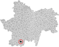 Bassin houiller La Chapelle-sous-Dun.svg 1,000 × 790; 240 KB
-
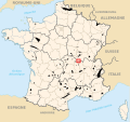
 Carte concessions houillères de Bourgogne.svg 1,874 × 2,445; 90 KB
-
 Carte concessions schiste Autun.svg 1,460 × 1,162; 107 KB
-
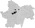
 Localisation bassin houiller de La Chapelle-sous-Dun.svg 1,175 × 1,101; 294 KB
-
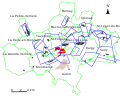
 Plans Télots 1950.svg 1,772 × 1,524; 97 KB
-
 Schiste d'Autun.svg 1,000 × 790; 235 KB


