Category:Maps violating territorial integrity of Kosovo
Jump to navigation
Jump to search
Media in category "Maps violating territorial integrity of Kosovo"
The following 24 files are in this category, out of 24 total.
-
 Central balkan pol98.jpg 1,114 × 1,396; 282 KB
-
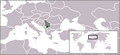
 Europe location map of Serbia with Kosovo marked.png 1,600 × 1,200; 110 KB
-
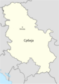
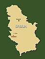
 Gradovi Srbije dopuna.png 536 × 776; 271 KB
-
 Kosovo and Serbia with proposed land swap.png 400 × 565; 7 KB
-
 Kosovo location map within Serbia (2006–2008).png 250 × 115; 5 KB
-
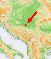
 Kosovo Presevo location map.png 800 × 1,056; 181 KB
-
 Location Map of FCA Serbia.jpg 800 × 1,016; 113 KB
-
 Location map of Serbia (2006–2008).png 250 × 115; 6 KB
-
 Location map of Serbia in Europe (2006–2008).gif 1,280 × 1,024; 87 KB
-
 Location map of Serbia in Europe (2006–2008).png 645 × 690; 142 KB
-
-
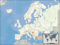
 Location map of the Republic of Serbia in Europe (2006–2008).png 800 × 600; 260 KB
-
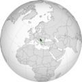
 Location of Serbia (globe).svg 572 × 572; 346 KB
-
 Location Serbia Europe Kosovo Semi-Included.png 2,056 × 1,800; 545 KB
-
 Map of Bermet in Serbia (2006–2008).png 251 × 289; 107 KB
-
 Map of Europe and Serbia (2006–2008).svg 2,045 × 1,720; 7.39 MB
-
 Map of Kosovo in Serbia (2006–2008).jpg 328 × 840; 50 KB
-
 Map of Serbia after proposed partition of northern Kosovo.png 1,200 × 1,718; 228 KB
-
 Map of Serbia in Europe (2006–2008).png 1,231 × 929; 41 KB
-
 Map of the Republic of Serbia (2006–2008).svg 680 × 520; 597 KB
-
 Map of Zlatibor in Serbia (2006–2008).jpg 458 × 590; 25 KB
-
 OCHA location map of Serbia in 2013.jpg 1,058 × 1,167; 105 KB
-
 Orthographic projection map of Serbia (2006–2008).png 1,106 × 1,106; 487 KB
-
 Serbia - Location Map (2013) - SRB - UNOCHA.svg 250 × 250; 924 KB


.png)


.png)
.gif)
.png)
.png)
.png)
.svg)

.png)
.svg)

.png)
.svg)
.jpg)

.png)
_-_SRB_-_UNOCHA.svg)
.svg)
.jpg)