Category:Maps showing the 1210s
Jump to navigation
Jump to search
Media in category "Maps showing the 1210s"
The following 4 files are in this category, out of 4 total.
-
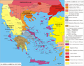
 Grecia 1209-1212.png 2,275 × 1,500; 1,010 KB
-
 Grecia 1212-1217.png 1,849 × 1,500; 781 KB
-
 Grecia 1217-1224.png 1,896 × 1,500; 795 KB
-
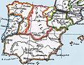 Mapa Peninsula Iberica circa 1210 en inglés.jpg 560 × 434; 49 KB


