Category:Maps showing 1450
Jump to navigation
Jump to search
| 1450 1453 1454 1455 1456 |
English: Maps showing the year 1450 (i.e. history maps)
See also category: 1450 maps. and 1450s maps for more maps showing this year usually created not long after the given year.
See also category: 1450 maps. and 1450s maps for more maps showing this year usually created not long after the given year.
Media in category "Maps showing 1450"
The following 3 files are in this category, out of 3 total.
-
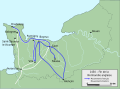 Normandie 1450 FR.svg 594 × 439; 202 KB
-
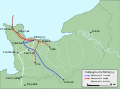 Normandie Formigny 1450 FR.svg 594 × 439; 954 KB
-
 Péninsule ibérique en 1450.png 2,000 × 1,500; 839 KB


