Category:Maps of weather and climate of Drainage basins of Africa
Jump to navigation
Jump to search
Media in category "Maps of weather and climate of Drainage basins of Africa"
The following 15 files are in this category, out of 15 total.
-
 Clima Angola Catchments.png 2,104 × 2,216; 1.19 MB
-
 Chad Klima.svg 833 × 833; 371 KB
-
 Koppen-Geiger Gambia Basin.png 494 × 433; 87 KB
-
 Koppen-Geiger Juba Basin.png 1,792 × 1,360; 682 KB
-
 Koeppen Geiger Limpopo.png 911 × 666; 367 KB
-
 Koppen-Geiger Madagascar Basins.png 803 × 1,298; 325 KB
-
 Makgadikgadi Lake Basin Kroeppen.png 549 × 560; 271 KB
-
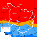
 Koeppen Geiger Niger Basin.svg 744 × 461; 1.06 MB
-
 Koeppen Geiger Nile Basin.svg 425 × 514; 1.96 MB
-
 Koppen-Geiger Oranje Basin.png 2,040 × 1,298; 647 KB
-
 Rufiji River basin map and Tanzania Koeppen.png 505 × 432; 301 KB
-
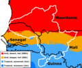 Koppen-Geiger Senegal Basin.png 1,113 × 927; 186 KB
-
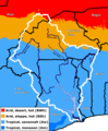 Koppen Geiger Volta Basin.png 865 × 1,051; 244 KB
-
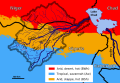 Yobe Basin Koeppen.svg 567 × 390; 1.24 MB
-
 Zambezi Basin Koeppen.png 2,344 × 1,828; 1.72 MB


