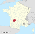
Category:Maps of the history of Périgueux
Jump to navigation
Jump to search
Media in category "Maps of the history of Périgueux"
The following 4 files are in this category, out of 4 total.
-
Carte de Périgueux en 1900.png 793 × 573; 91 KB
-
Carte des sites archéologiques de Périgueux.svg 512 × 480; 2.2 MB
-
Diocèse Périgueux 1789.svg 2,000 × 1,922; 801 KB
-
Périgueux - Emplacement de la ville gallo-romaine et de la cité.jpg 1,077 × 734; 259 KB


