Category:Maps of the districts of Lutherstadt Eisleben
Jump to navigation
Jump to search
English: maps with the parts of the town Eisleben
Deutsch: Karten mit den Ortsteilen der Lutherstadt Eisleben
Media in category "Maps of the districts of Lutherstadt Eisleben"
The following 14 files are in this category, out of 14 total.
-
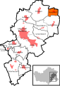
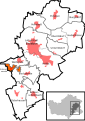
 Bischofrode in Eisleben.svg 744 × 1,052; 190 KB
-
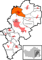
 Burgsdorf in Eisleben.svg 744 × 1,052; 182 KB
-
 Districts of Eisleben (white version).svg 744 × 1,052; 117 KB
-
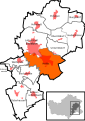
 Districts of Eisleben.svg 744 × 1,052; 190 KB
-
 Hedersleben in Eisleben.svg 744 × 1,052; 182 KB
-
 Helfta in Eisleben.svg 744 × 1,052; 182 KB
-
 Oberrißdorf in Eisleben.svg 744 × 1,052; 182 KB
-
 Osterhausen in Eisleben.svg 744 × 1,052; 182 KB
-
 Polleben in Eisleben.svg 744 × 1,052; 182 KB
-
 Rotenschirmbach in Eisleben.svg 744 × 1,052; 182 KB
-
 Schmalzerode in Eisleben.svg 744 × 1,052; 182 KB
-
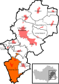
 Unterrißdorf in Eisleben.svg 744 × 1,052; 182 KB
-
 Volkstedt in Eisleben.svg 744 × 1,052; 182 KB
-
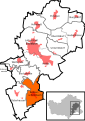
 Wolferode in Eisleben.svg 744 × 1,052; 182 KB


.svg)


