Category:Maps of the Tuvan People's Republic
Jump to navigation
Jump to search
Media in category "Maps of the Tuvan People's Republic"
The following 9 files are in this category, out of 9 total.
-
 1947 Zhonghua Minguo Quantu.png 3,044 × 2,000; 13.79 MB
-
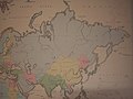
 Bartholomew's general map of Asia. LOC 2006635248.jpg 9,505 × 7,415; 8.26 MB
-
 Map of Asia from the Interwar period, ca. 1932-36.jpg 1,600 × 1,200; 1.32 MB
-
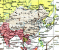
 Map of Japanese Empire August 1942 - DPLA - 0a5010ede7fcba8bd85ef9771b44d17b.jpg 7,866 × 6,364; 9.53 MB
-
 Pieni 2 0791 China.png 514 × 437; 611 KB
-
 Tuva map.png 1,000 × 1,000; 125 KB
-
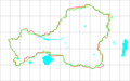 Tuva-1953 Tuva-2008.png 1,600 × 996; 21 KB
-
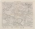 Txu-pclmaps-oclc-8607404-mongolia-west.jpg 8,736 × 7,316; 11.89 MB
-
 Uryankhay-Tuva AO.png 1,599 × 996; 24 KB


