Category:Maps of the Russian Empire in Blackie & Sons Atlas (1882)
Jump to navigation
Jump to search
Media in category "Maps of the Russian Empire in Blackie & Sons Atlas (1882)"
The following 13 files are in this category, out of 13 total.
-
 Baltics 1882.JPG 1,035 × 978; 132 KB
-
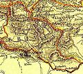
 Belarus 1882.jpg 1,091 × 808; 150 KB
-
 Erivan.jpg 388 × 350; 100 KB
-
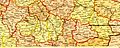
 Galicia 1882.jpg 1,630 × 991; 232 KB
-
 Gokcha.jpg 136 × 128; 15 KB
-
 Russia Caucusus 1882.jpg 1,420 × 1,232; 238 KB
-
 Russia Central East 1882.jpg 1,700 × 1,106; 302 KB
-
 Russia Northeast 1882.jpg 1,564 × 1,063; 151 KB
-
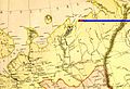
 Russia Nothwest 1882.jpg 1,107 × 1,205; 242 KB
-
 Russia Southeast 1882.jpg 1,700 × 675; 194 KB
-
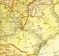
 Russia Southwest 1882.jpg 1,612 × 641; 193 KB
-
 Ukraine 1882.JPG 1,477 × 978; 239 KB
-
 Volga and Don River Basins 1882.jpg 1,115 × 1,063; 157 KB


