Category:Maps of the Río de la Plata
Jump to navigation
Jump to search
Subcategories
This category has the following 2 subcategories, out of 2 total.
B
O
Media in category "Maps of the Río de la Plata"
The following 32 files are in this category, out of 32 total.
-

-

-
 Admiralty Chart No 2039 Rivers Uruguay, Paraná and Paraguay, Published 1952.jpg 8,249 × 11,248; 22.41 MB
-
 Admiralty Chart No 2544 Rio de la Plata, Published 1857.jpg 14,248 × 7,914; 16.13 MB
-
 Banda Oriental del Paraná 1732.png 1,542 × 1,174; 4.02 MB
-
 Battle of Graf Spee-es.svg 1,024 × 768; 135 KB
-
 Battle of Graf Spee.svg 1,024 × 768; 51 KB
-
 BsAs1826 Oyarvide06.gif 626 × 436; 11 KB
-
 BuenosAires Mynssen 1829 MHN.png 530 × 703; 21 KB
-
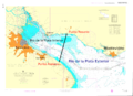
 Canal Acceso BA.PNG 839 × 500; 31 KB
-
 Carte Du Rio De La Plata.jpg 12,722 × 8,615; 6.75 MB
-
 ChannelsonRiverPlate.PNG 1,353 × 783; 39 KB
-
 CnalMartinGarcia.PNG 407 × 550; 7 KB
-
 Isla de Lobos - Gorriti UY.PNG 1,440 × 720; 48 KB
-
 La Plata laht.png 698 × 539; 45 KB
-
 Plata buenos aires montevideo map oc.PNG 698 × 539; 21 KB
-
 Plata buenos aires montevideo map uk.PNG 698 × 539; 16 KB
-
 Plata buenos aires montevideo map-fr.svg 697 × 540; 39 KB
-
 Plata buenos aires montevideo map.PNG 698 × 539; 22 KB
-
 Plata buenos aires montevideo map.svg 698 × 539; 38 KB
-
 Rio de la Plata 1806.gif 1,440 × 720; 23 KB
-
 Rio de la Plata 1806.svg 1,440 × 720; 117 KB
-
 Rio timonel.png 1,667 × 1,211; 1.22 MB
-
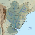 Riodelaplatabasinmap-ar.png 1,500 × 1,510; 3.1 MB
-
 Riodelaplatabasinmap-fr.png 1,500 × 1,508; 3.1 MB
-
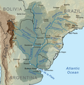 Riodelaplatabasinmap.png 1,500 × 1,510; 3.14 MB
-
 Río Santa María.png 496 × 428; 310 KB
-
 Tango-Region-Map (BsAs-Mont-Ros-Ave-Sar).jpg 942 × 532; 64 KB
-
 Tango-Region-Map (conEtiquetas).jpg 942 × 532; 69 KB
-
 Tango-Region-Map (conEtiquetas-Sombra).jpg 764 × 516; 57 KB
-
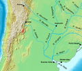
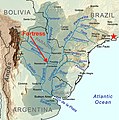 Water route to Humaitá.jpg 1,783 × 1,792; 1.06 MB
-
 Zemljevid Río de la Plata.png 698 × 539; 15 KB
.jpg)
.jpg)


.jpg)
.jpg)
.jpg)

