Category:Maps of the Prince-Bishopric of Trent
Jump to navigation
Jump to search
May also include old (historical) maps of the Prince-Bishopric of Trent
Media in category "Maps of the Prince-Bishopric of Trent"
The following 11 files are in this category, out of 11 total.
-
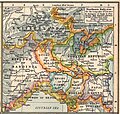 Italy northern 1796.jpg 983 × 932; 451 KB
-
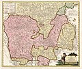
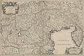
 HRR 1648 Trient.png 681 × 613; 225 KB
-
 Napoleonic northern Italy circa 1795–1801.jpg 861 × 635; 196 KB
-
 Sedes belli in Italia - CBT 5881561.jpg 7,268 × 4,324; 10.9 MB
-
 Southern Tyrol 1804.jpg 1,789 × 1,500; 819 KB
-
 Theatre de la guerre - CBT 5873291.jpg 5,807 × 4,773; 9.58 MB
-
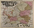
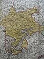 Trent, Brixen and the Tyrol in 1788.jpg 1,200 × 1,600; 864 KB
-
 Trentino in Dominium Venetum in Italia, Henricus Hondius (1597-1651) BNF Gallica.jpg 1,719 × 1,577; 564 KB
-
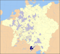
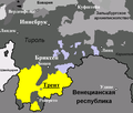 Trient Map.PNG 1,054 × 899; 58 KB
-
 Tyrol and Trent 1800.jpg 2,048 × 1,764; 3.57 MB
-
 États Italie Trente Brixen 1702.jpg 8,576 × 5,712; 27 MB


_BNF_Gallica.jpg)


