Category:Maps of the London Borough of Enfield
Jump to navigation
Jump to search
Subcategories
This category has the following 2 subcategories, out of 2 total.
E
- Election maps of Enfield (7 F)
M
- Maps of Enfield (4 F)
Media in category "Maps of the London Borough of Enfield"
The following 12 files are in this category, out of 12 total.
-
1820 map of the Edmonton Hundred.jpg 750 × 689; 108 KB
-
Edmonton 1961.png 1,347 × 1,395; 68 KB
-
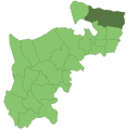
Edmonton1961.svg 543 × 550; 25 KB
-
Enfield London UK blank ward map 2022.svg 512 × 405; 1.58 MB
-
Enfield London UK blank ward map.svg 1,425 × 1,140; 525 KB
-
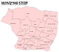
Enfield London UK labelled ward map 2002.svg 1,297 × 1,140; 113 KB
-
Enfield Park 1593.jpg 352 × 278; 101 KB
-
Enfield UK locator map.svg 1,425 × 1,140; 1.06 MB
-
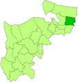
Enfield1961.svg 543 × 550; 25 KB
-
LondonEnfield.svg 962 × 744; 19 KB
-
Southgate MB Ward Map 1930s.svg 709 × 914; 25 KB
-
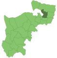
Southgate1961.svg 543 × 550; 25 KB


