Category:Maps of the First Mexican Empire
Jump to navigation
Jump to search
Media in category "Maps of the First Mexican Empire"
The following 12 files are in this category, out of 12 total.
-
First Mexican Empire (orthographic projection).svg 541 × 541; 551 KB
-
Birinci Meksika İmparatorluğu Sınırları.png 541 × 541; 106 KB
-
First Mexican Empire Map.png 303 × 285; 38 KB
-
First Mexican Empire on the globe.svg 792 × 792; 1.89 MB
-
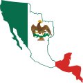
Flag map of the First Mexican Empire (1821–1823).svg 1,633 × 1,633; 1.41 MB
-
Imperio en America.PNG 1,907 × 1,623; 87 KB
-
Location Mexican Empire (1822).png 1,621 × 1,265; 238 KB
-
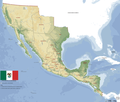
Mapa de Mexico (Imperio Mexicano) 1821.PNG 1,907 × 1,623; 354 KB
-
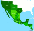
Mapa Mexico 1823.PNG 1,669 × 1,518; 95 KB
-
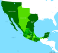
Mexican Empire Map.png 267 × 257; 7 KB
-
Mexico 1821.PNG 1,669 × 1,518; 38 KB
-
Mexico location map (1824).svg 1,509 × 1,288; 1.08 MB


