Category:Maps of the European Economic Area
Jump to navigation
Jump to search
Media in category "Maps of the European Economic Area"
The following 21 files are in this category, out of 21 total.
-
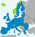
Agreement on the European Economic Area.svg 610 × 610; 472 KB
-
EEA CES.PNG 1,464 × 464; 43 KB
-
EEA single entity.PNG 432 × 426; 5 KB
-
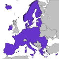
EEA-2019.svg 460 × 460; 647 KB
-
EEA.PNG 450 × 422; 18 KB
-
EEA.svg 680 × 520; 528 KB
-
Eee members.PNG 1,001 × 554; 82 KB
-
EES.svg 610 × 610; 342 KB
-
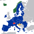
European Economic Area Agreement.svg 655 × 690; 261 KB
-
European Economic Area and Switzerland.svg 610 × 610; 472 KB
-
European Economic Area Map.svg 610 × 610; 800 KB
-
European Economic Area member states.svg 1,300 × 1,300; 446 KB
-
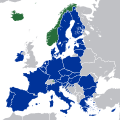
European Economic Area members.png 600 × 600; 102 KB
-
European Economic Area members.svg 1,300 × 1,300; 7.36 MB
-
European Economic Area.svg 2,045 × 1,720; 7.33 MB
-
European Spaces Map (no legend).svg 645 × 610; 524 KB
-
European Spaces Map.svg 845 × 610; 2.91 MB
-
European Spaces.png 3,507 × 2,481; 4.4 MB
-
European Spaces.svg 680 × 520; 598 KB
-
Europäische Zollunion und Partnerstaaten.svg 680 × 520; 419 KB
-
Progetto Ægea - AEgea Project - FIAT EMEA CAR.jpg 1,534 × 1,132; 513 KB


