Category:Maps of the City of Winchester
Jump to navigation
Jump to search
Media in category "Maps of the City of Winchester"
The following 16 files are in this category, out of 16 total.
-
 HampshireWinchester.png 200 × 178; 10 KB
-
 Overlay city of winchester boundaries.svg 336 × 419; 224 KB
-
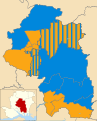
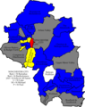 Winchester 2006 election map.png 379 × 480; 75 KB
-
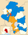
 Winchester 2007 election map.png 379 × 480; 76 KB
-
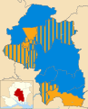
 Winchester 2008 election map.png 379 × 480; 80 KB
-
 Winchester UK local election 2002 map.svg 990 × 1,227; 653 KB
-
 Winchester UK local election 2003 map.svg 990 × 1,227; 653 KB
-
 Winchester UK local election 2004 map.svg 990 × 1,227; 659 KB
-
 Winchester UK local election 2021 map.svg 990 × 1,227; 613 KB
-
 Winchester UK local election 2022 map.svg 990 × 1,227; 614 KB
-
 Winchester UK locator map.svg 1,425 × 1,213; 1.23 MB
-
 Winchester UK ward map 2010 (blank).svg 990 × 1,227; 651 KB
-
 Winchester UK ward map 2016 (blank).svg 990 × 1,227; 612 KB
-
 Winchester UK ward map 2016.svg 990 × 1,227; 685 KB
-
 Winchester UK ward map 2018.svg 990 × 1,227; 720 KB
-
 Winchester UK ward map 2019.svg 990 × 1,227; 669 KB


.svg)
.svg)