Category:Maps of the Borough of St Edmundsbury
Appearance
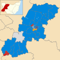
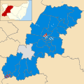
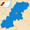
English: Maps of the former St Edmundsbury district, now in West Suffolk district, in the county of Suffolk, England.
Media in category "Maps of the Borough of St Edmundsbury"
The following 7 files are in this category, out of 7 total.
-
St Edmundsbury UK locator map.svg 1,425 × 927; 995 KB
-
St Edmundsbury UK ward map 2010 (blank).svg 1,270 × 1,266; 672 KB
-
St Edmundsbury wards 2003.svg 1,270 × 1,266; 680 KB
-
St Edmundsbury wards 2007.svg 1,270 × 1,266; 679 KB
-
St Edmundsbury wards 2011.svg 1,270 × 1,266; 679 KB
-
St Edmundsbury wards 2015.svg 1,270 × 1,266; 674 KB
-
SuffolkBury.png 200 × 147; 12 KB


