Category:Maps of the Aq Qoyunlu state
Jump to navigation
Jump to search
Media in category "Maps of the Aq Qoyunlu state"
The following 12 files are in this category, out of 12 total.
-
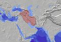
 Ag Qoyunlu (greatest extent).svg 553 × 553; 271 KB
-
 Akkoyunlular Devleti.jpg 1,600 × 1,101; 497 KB
-
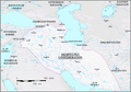
 Akkoyunlular2.jpg 904 × 561; 164 KB
-
 Akkoyunlularsiyasiharitası.png 800 × 562; 531 KB
-
 Map Aq Qoyunlu 1478-en.png 980 × 688; 226 KB
-
 Map Aq Qoyunlu 1478-es.svg 2,066 × 1,439; 10.02 MB
-
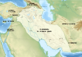
 Aq Qoyunlu Turkomans (1435).png 1,080 × 696; 17 KB
-
 Iran-Aq Qoyunlu Turcomans.jpg 3,625 × 3,043; 1.57 MB
-
 Map Aq Qoyunlu 1478-fr.svg 2,066 × 1,439; 10.02 MB
-
 Map Aq Qoyunlu 1478-pt.svg 2,066 × 1,439; 10.02 MB
-
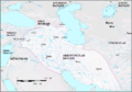
 Map of Aq Qoyunlu State (1453-1478).jpg 2,201 × 1,693; 392 KB
-
 Uzunhasanempire.gif 700 × 472; 51 KB
.svg)


.png)


.jpg)
