Category:Maps of protected areas in Bouches-du-Rhône
Jump to navigation
Jump to search
Subcategories
This category has only the following subcategory.
A
Media in category "Maps of protected areas in Bouches-du-Rhône"
The following 10 files are in this category, out of 10 total.
-
 Camargue map-blank.svg 1,052 × 744; 1.62 MB
-
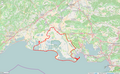
 Périmètre PN des Calanques.png 935 × 777; 298 KB
-
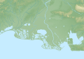
 Périmètre PNR de Camargue.png 1,299 × 799; 1.07 MB
-
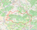 Périmètre PNR des Alpilles.png 997 × 818; 738 KB
-
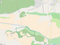
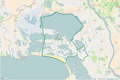 Périmètre RNN Camargue rnn22.png 1,241 × 826; 370 KB
-
 Périmètre RNN Coussouls de Crau rnn152.png 1,237 × 1,055; 835 KB
-
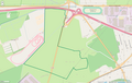
 Périmètre RNR L'Ilon rnr247.png 998 × 738; 217 KB
-
 Périmètre RNR Poitevine Regarde Venir rnr6.png 1,299 × 820; 309 KB
-
 Périmètre RNR Tour du Valat rnr1.png 1,000 × 1,050; 375 KB
-
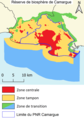 Reserve biosphere camargue.png 1,099 × 1,562; 146 KB


