Category:Maps of proposed states and union territories in India
Jump to navigation
Jump to search
Subcategories
This category has only the following subcategory.
Media in category "Maps of proposed states and union territories in India"
The following 10 files are in this category, out of 10 total.
-
 Angika region.png 905 × 400; 370 KB
-
 Demand-for-New-states-in-india.png 692 × 768; 80 KB
-
 Gondwana state demand map.jpg 720 × 720; 60 KB
-
 Kongunadu.jpg 359 × 320; 16 KB
-
 MaharashtraVidarbha.png 200 × 161; 7 KB
-
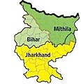
 Mithila Map.jpg 983 × 897; 248 KB
-
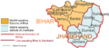
 Mithila-Bihar-Jhharkhand.jpg 169 × 175; 14 KB
-
 Proposed Gorkhaland Map.jpg 535 × 355; 32 KB
-
 Proposed states of India.jpg 827 × 976; 205 KB
-
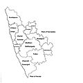 Tulunad State.jpg 2,560 × 2,560; 384 KB


