Category:Maps of municipalities in the district of Zürich to 1892
Jump to navigation
Jump to search
Media in category "Maps of municipalities in the district of Zürich to 1892"
The following 12 files are in this category, out of 12 total.
-
 Karte Gemeinde Aussersihl 1892.png 1,475 × 1,085; 443 KB
-
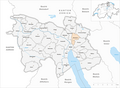
 Karte Gemeinde Enge 1892.png 1,475 × 1,085; 443 KB
-
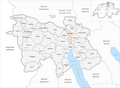
 Karte Gemeinde Fluntern 1892.png 1,475 × 1,085; 443 KB
-
 Karte Gemeinde Hirslanden 1892.png 1,475 × 1,085; 443 KB
-
 Karte Gemeinde Hottingen 1892.png 1,475 × 1,085; 443 KB
-
 Karte Gemeinde Leimbach 1892.png 1,475 × 1,085; 433 KB
-
 Karte Gemeinde Oberstrass 1892.png 1,475 × 1,085; 443 KB
-
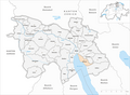 Karte Gemeinde Riesbach 1892.png 1,475 × 1,085; 443 KB
-
 Karte Gemeinde Unterstrass 1892.png 1,475 × 1,085; 443 KB
-
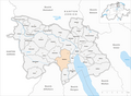 Karte Gemeinde Wiedikon 1892.png 1,475 × 1,085; 443 KB
-
 Karte Gemeinde Wipkingen 1892.png 1,475 × 1,085; 433 KB
-
 Karte Gemeinde Wollishofen 1892.png 1,475 × 1,085; 443 KB


