Category:Maps of municipalities in the district of Sursee to 2014
Jump to navigation
Jump to search
Media in category "Maps of municipalities in the district of Sursee to 2014"
The following 20 files are in this category, out of 20 total.
-
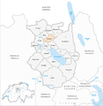
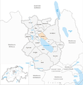
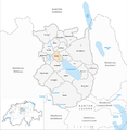
 Karte Gemeinden des Wahlkreis Sursee 2013.png 1,476 × 1,519; 568 KB
-
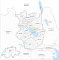
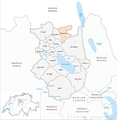
 Karte Gemeinde Beromünster 2013.png 1,476 × 1,519; 569 KB
-
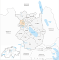
 Karte Gemeinde Buttisholz 2013.png 1,476 × 1,519; 569 KB
-
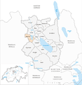
 Karte Gemeinde Büron 2013.png 1,476 × 1,519; 568 KB
-
 Karte Gemeinde Eich 2013.png 1,476 × 1,519; 568 KB
-
 Karte Gemeinde Geuensee 2013.png 1,476 × 1,519; 568 KB
-
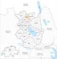
 Karte Gemeinde Grosswangen 2013.png 1,476 × 1,519; 569 KB
-
 Karte Gemeinde Hildisrieden 2013.png 1,476 × 1,519; 568 KB
-
 Karte Gemeinde Knutwil 2013.png 1,476 × 1,519; 568 KB
-
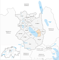
 Karte Gemeinde Mauensee 2013.png 1,476 × 1,519; 569 KB
-
 Karte Gemeinde Neuenkirch 2013.png 1,476 × 1,519; 569 KB
-
 Karte Gemeinde Nottwil 2013.png 1,476 × 1,519; 569 KB
-
 Karte Gemeinde Oberkirch 2013.png 1,476 × 1,519; 569 KB
-
 Karte Gemeinde Rickenbach LU 2013.png 1,476 × 1,519; 569 KB
-
 Karte Gemeinde Ruswil 2013.png 1,476 × 1,519; 569 KB
-
 Karte Gemeinde Schenkon 2013.png 1,476 × 1,519; 569 KB
-
 Karte Gemeinde Schlierbach 2013.png 1,476 × 1,519; 569 KB
-
 Karte Gemeinde Sempach 2013.png 1,476 × 1,519; 569 KB
-
 Karte Gemeinde Sursee 2013.png 1,476 × 1,519; 568 KB
-
 Karte Gemeinde Triengen 2013.png 1,476 × 1,519; 569 KB


