Category:Maps of local government areas of the Northern Territory
Jump to navigation
Jump to search
Subcategories
This category has the following 3 subcategories, out of 3 total.
Media in category "Maps of local government areas of the Northern Territory"
The following 20 files are in this category, out of 20 total.
-
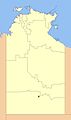 Alice Springs Municipality.jpg 439 × 743; 39 KB
-
 Alice Springs Town Council location.jpg 439 × 743; 38 KB
-
 Barkly Shire.jpg 439 × 743; 40 KB
-
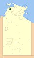
 Belyuen CGC Area.jpg 439 × 743; 38 KB
-
 Belyuen Shire.jpg 439 × 743; 39 KB
-
 Central Desert Shire.jpg 439 × 743; 40 KB
-
 Coomalie CGC Area.jpg 439 × 743; 39 KB
-
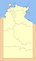
 Coomalie Shire.jpg 439 × 743; 39 KB
-
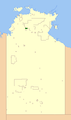
 Cox Peninsula CGC Area.jpg 439 × 743; 38 KB
-
 East Arnhem Shire.jpg 439 × 743; 39 KB
-
 Katherine Municipality.jpg 439 × 743; 39 KB
-
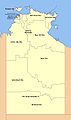
 Katherine Town COuncil.PNG 439 × 743; 18 KB
-
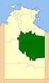
 MacDonnell Shire.jpg 439 × 743; 40 KB
-
 New Lga Names1.JPG 439 × 743; 35 KB
-
 New LGAs.jpg 439 × 743; 39 KB
-
 Northern Territory LGA.jpg 1,890 × 2,979; 562 KB
-
 NT LGAs.svg 1,328 × 1,340; 653 KB
-
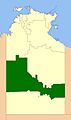
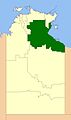 Roper Gulf Shire.jpg 439 × 743; 40 KB
-
 Tiwi Islands Shire.jpg 439 × 743; 39 KB
-
 West Arnhem Shire.jpg 439 × 743; 39 KB


