Category:Maps of islands of Thailand
Jump to navigation
Jump to search
Subcategories
This category has the following 3 subcategories, out of 3 total.
M
- Maps of Ko Samui (3 F)
P
- Maps of Phi Phi islands (5 F)
Media in category "Maps of islands of Thailand"
The following 30 files are in this category, out of 30 total.
-
 Amphoe 2008.png 250 × 250; 8 KB
-
 Amphoe 2008.svg 744 × 666; 107 KB
-
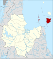
 Amphoe 2306.png 281 × 434; 11 KB
-
 Amphoe 2306.svg 1,598 × 2,637; 109 KB
-
 Amphoe 2307.png 281 × 434; 11 KB
-
 Amphoe 2307.svg 1,598 × 2,637; 109 KB
-
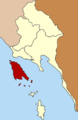
 Amphoe 8202.png 368 × 458; 17 KB
-
 Amphoe 8202.svg 1,597 × 2,280; 143 KB
-
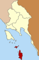
 Amphoe 8404.png 268 × 287; 13 KB
-
 Amphoe 8404.svg 1,590 × 1,756; 512 KB
-
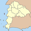
 Amphoe 8405.png 268 × 287; 13 KB
-
 Amphoe 8405.svg 1,590 × 1,756; 520 KB
-
 Baia di Phang Nga it.png 354 × 447; 107 KB
-
 Battle of Koh Chang 17 january 1941 (English version).svg 1,509 × 1,271; 157 KB
-
 Dive Sites of Ko Tao.png 868 × 1,306; 90 KB
-
 Ko mak.png 281 × 434; 31 KB
-
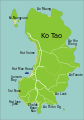
 Ko Tao map.png 712 × 1,024; 77 KB
-
 Ko Tao map.svg 710 × 1,017; 54 KB
-
 Koh Chang (17 janvier 1941).svg 1,509 × 1,271; 150 KB
-
 Map from the Battle of Koh Chang from Thai and French views.jpg 2,196 × 2,430; 886 KB
-
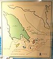
 Map of Mu Ko Ang Thong.jpg 399 × 952; 75 KB
-
 Map of the Battle of Koh Chang (Thai version, French view).svg 1,509 × 1,271; 164 KB
-
 Mapa de Koh Tao.png 970 × 1,164; 166 KB
-
 Mukoh angthong 256.gif 256 × 310; 31 KB
-
 Phangan Karte.png 644 × 620; 227 KB
-
 Samui Archipelago Transportation Map.png 648 × 624; 96 KB
-
 Similan islands.png 719 × 445; 87 KB
-
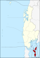
 Tambon 8202.png 280 × 380; 16 KB
-
 Tambon 8404.png 377 × 402; 15 KB
-
 Tambon 8405.png 260 × 390; 6 KB


.svg)


.svg)


.svg)


