Category:Maps of fictional cities
Jump to navigation
Jump to search
Deutsch: Pläne von fiktionalen Städten
Media in category "Maps of fictional cities"
The following 25 files are in this category, out of 25 total.
-
 Map of great western Central City LOC 75693124.jpg 6,344 × 4,880; 5.05 MB
-
 Map of great western Central City LOC 75693124.tif 6,344 × 4,880; 88.57 MB
-
 BI-Book AgilieBICityMap justDistricts colour.png 1,709 × 1,617; 699 KB
-
 Cyberpunk 2020 Night City.jpg 200 × 231; 33 KB
-
 Gridcity imaginary city grid plan.png 1,512 × 1,134; 315 KB
-
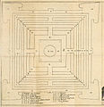
 Indraprasta.jpg 4,000 × 2,000; 953 KB
-
 Indraprasta.PNG 1,023 × 506; 1.3 MB
-
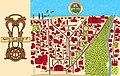
 Lut Gholein (English).jpg 1,034 × 1,171; 175 KB
-
 Lut Gholein.jpg 1,034 × 1,171; 150 KB
-
 Map of Dogville (Lars von Trier).svg 1,020 × 497; 133 KB
-
 Map of fictional Winesburg, Ohio.jpg 1,233 × 1,729; 1.24 MB
-
 Map of Jonathaland.jpg 4,689 × 2,953; 7.47 MB
-
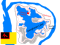 Map of Qanghwan.png 960 × 720; 173 KB
-
 Map of the Principal Parts of Arkham, Massachusetts.png 8,244 × 5,118; 47.1 MB
-
 Minas-Tirith-ok.svg 750 × 900; 22 KB
-
 Minas-Tirith-Rama-b.svg 1,734 × 1,734; 1.82 MB
-
 Minas-Tirith-Rama-c.svg 1,734 × 1,734; 1.83 MB
-
 Nava de Warja.JPG 1,130 × 1,406; 394 KB
-
 Plan der Stadt Christianopolis - Tafel 1.jpg 777 × 806; 232 KB
-
 Plan der Stadt Christianopolis.jpg 1,592 × 811; 409 KB
-
 Plan Nicoloas.png 2,480 × 3,508; 1.48 MB
-
 Plan orientation.jpg 965 × 730; 55 KB
-
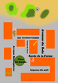
 PlanGTC5.png 650 × 650; 47 KB
-
 Sion, por F.Tejada, para Wikipedia.jpg 1,902 × 3,437; 5.51 MB
-
 Soleva City Map.png 4,071 × 4,120; 6.27 MB


.jpg)

.svg)


